|
In the topic about measuring Earth, students will be able to use the coordinate system of latitude and longitude to find various locations around a world map. Taking the new coordinate system a step further, the students will determine the correct coordinates for different New York State cities and mountains using minutes and seconds. This topic introduces the different symbols on a map, how to use them and leads into the next half of our unit.
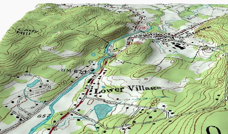
Measuring Earth topic is all about location, location, location! Students will be able to use the coordinate system of latitude and longitude to find out specific locations around the world. Additionally, on a smaller scale, students will be learning all about topographic maps. Students will learn features about a map and are introduced to a new formula, Gradient.
|
Ms. Richter
Email: [email protected] Archives |
 RSS Feed
